
OCTATUS / CAPABILITIES
BIM and GIS
Explore building and infrastructure models in local or geographic context while keeping relationships across disciplines intact.
Discuss this capability ↗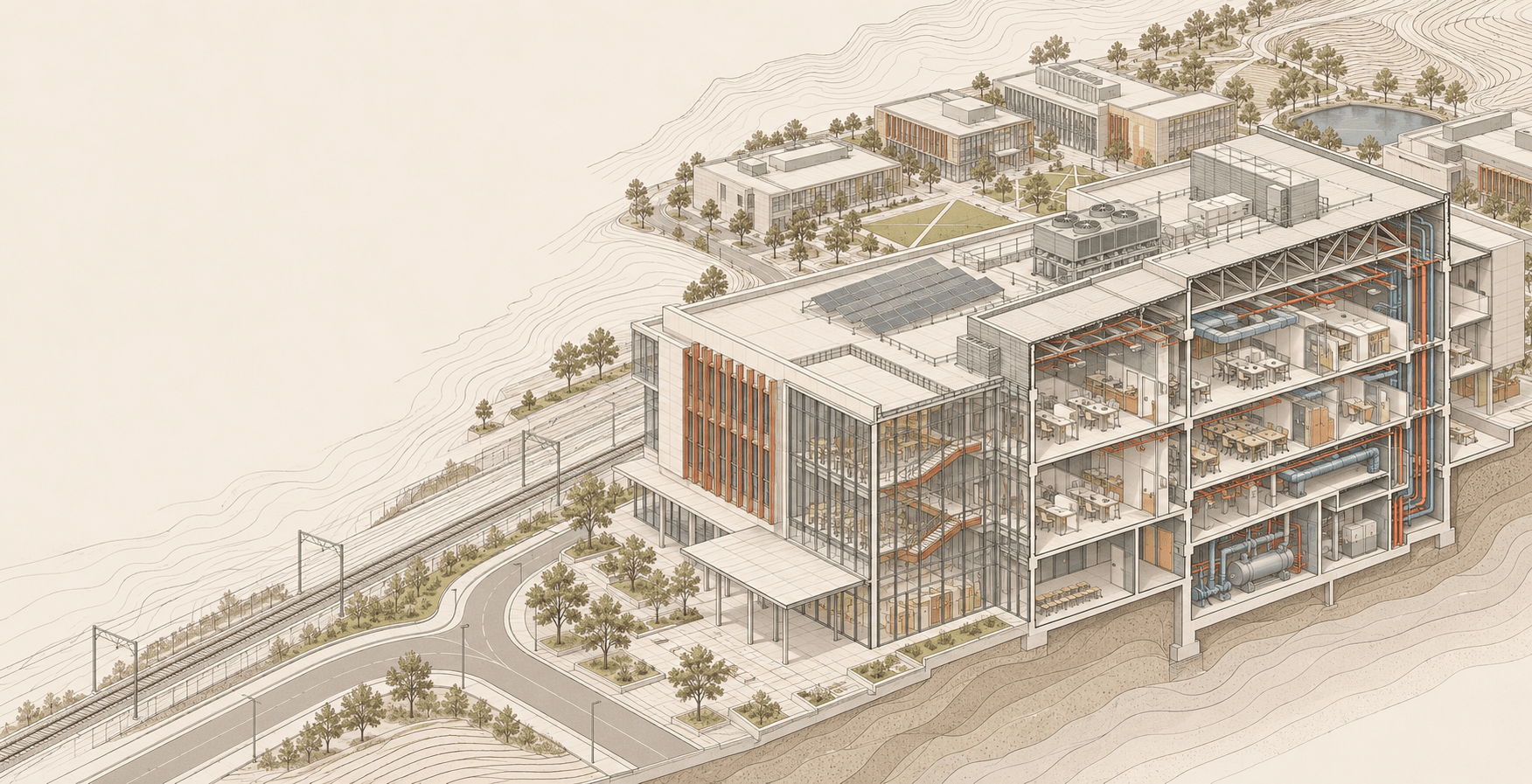
FROM MODEL TO GEOGRAPHY
Move forward with context intact.
Octatus makes the relationship between the model and the real world visible and actionable through bim and gis.
- Bring IFC and RVT sources into workflows
- Review local BIM and campus scale spatial data
- Track model revisions and data provenance
WORKS TOGETHER
Other platform capabilities
Digital twin
Connect physical assets, spatial models, relationships, operational status and lifecycle evidence in one shared context.
↗Live data and observations
Connect sensors, operational systems and field observations to the right assets in the digital twin.
↗Artificial intelligence
Use AI with model, data and process context while keeping recommendations traceable and reviewable.
↗